The agency acts as a regional repository of traffic maps, topographic, planimetric, hydrologic, and soil maps. As the designated local Census Affiliate, the Commission’s wealth of census data is a major asset to the region and member political subdivisions. The Planning Commission maintains and maps localized census data sets, spanning the 1980 through 2020 decennial census periods.
LACRPC Vehicular Traffic Maps
Access Management Roads 2024
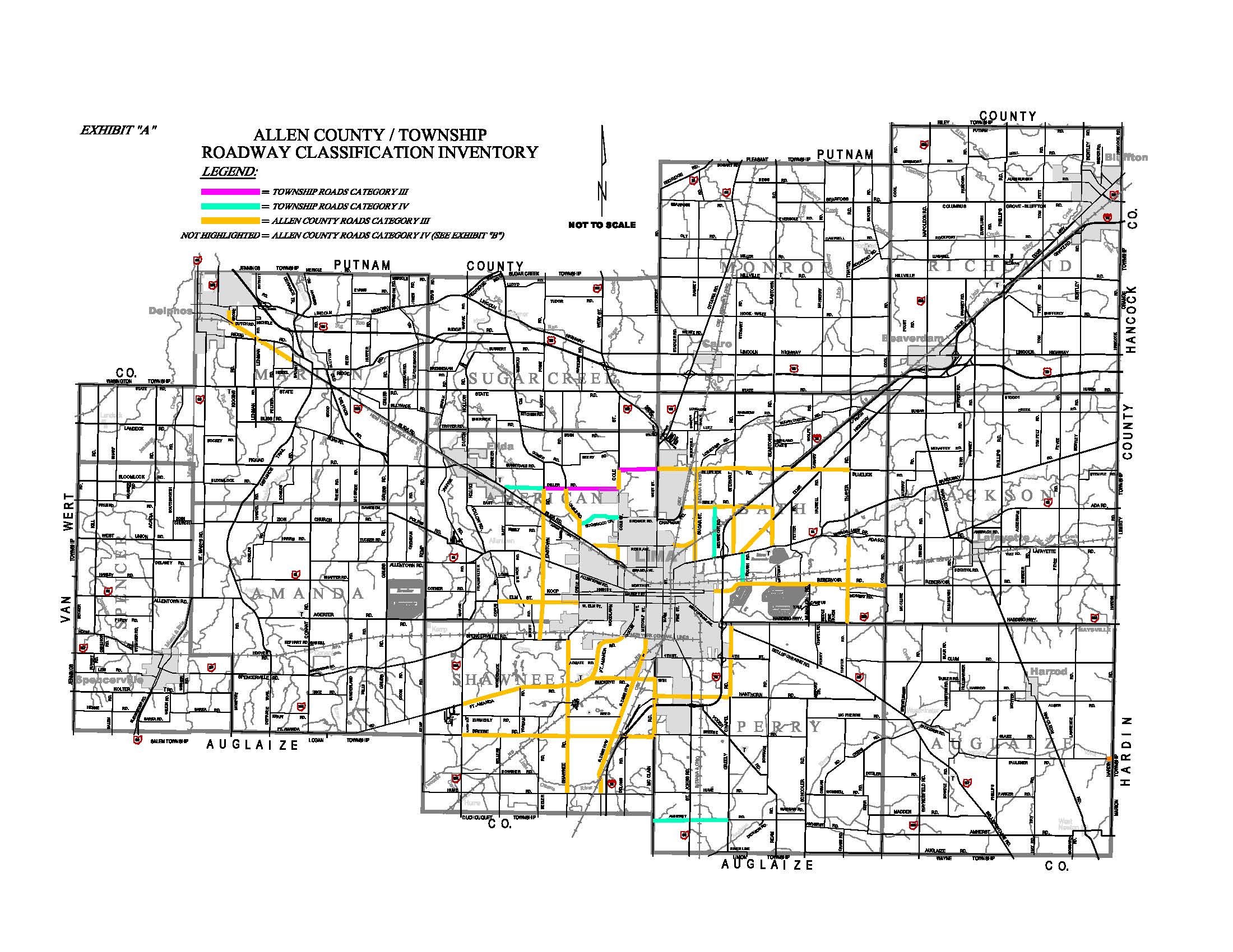
Allen County Functional Classification
Allen County Traffic Count Map
Level of Service Map (AM, Noon, or PM)
Allen County Bike & Pedestrian Count Map
2024 Bike & Pedestrian Count Map
2023 Bike & Pedestrian Count Map
2022 Bike & Pedestrian Count Map
2021 Bike & Pedestrian Count Map
2020 Bike & Pedestrian Count Map
2019 Bike & Pedestrian Count Map
Make your own map with ODOT TIMS
The Transportation Information Mapping System (TIMS) from the Ohio Department of Transportation is a comprehensive tool often used by professionals in transportation. TIMS is accessible to the public and is a one-stop shop for hundreds of ODOT data sets. There is a ribbon on the left that allows users to select attributes, then flip to the other tab to depict a legend. Just zoom in on the area of interest after making the selections and the data will begin populating.
Follow Us On (419) 228-1836